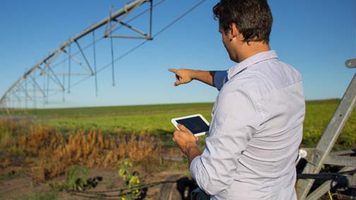
Since its inception in the early 1990s, AIS (Automatic Identification System) data has played a vital role in digitizing maritime industries and there is no sign of it slowing down. Over the years, Satellite AIS technology has continued to evolve as an accurate, reliable and rich source of information with a widening array of unique use cases. Today, AIS data helps address the many challenges that face maritime industries, including vessel tracking, national security, search and rescue operations, illegal fishing, environmental impacts and piracy.
To better understand Satellite AIS and the benefits of smart technology for maritime operations, Namrata Nadkarni, Founder and CEO at Intent Communications, sat down with Andrew Loretta, Senior Director, Maritime Business Development at ORBCOMM to walk through the importance of this technology, its impact on maritime industries, unique use cases, ORBCOMM’s contributions and more.
ORBCOMM has operated AIS-enabled satellites for nearly a dozen years now. Tell us a little bit about Satellite AIS and how ORBCOMM has been involved in its development.
ORBCOMM’s involvement with Satellite AIS started at the very beginning of its development when the US government engaged with us to determine if broadcasted messages from vessels could be collected using satellites in space so they could be tracked for homeland security purposes. ORBCOMM was awarded a contract from the US Coast Guard in 2004 and we launched our first commercial AIS satellites in 2008. Since then, we have expanded our AIS data service to include terrestrial AIS and we are working towards the launch of our fourth generation of AIS satellites this year in 2021.
https://youtu.be/6GZZTXnLZ5Y
Satellite AIS has been called a ‘game changer’ for a wide range of applications. What are those applications and how would you describe Satellite AIS’s impact on each of them?
Satellite AIS is a game changer for several reasons, starting with the fact that it completely revolutionizes what we know about vessels operating in the middle of the ocean, from the moment they leave port to when they arrive at their destination. Information that had never been attainable before, such as what route the vessel took, did it stop anywhere and anything else it might have done along the way is all readily available.
For maritime safety and security, Satellite AIS data enables much more responsive rescue operations for vessels that were in trouble at sea. Unlawful activity like illegal fishing and environmental disasters such as oil spills have become highly visible, and counter piracy operations and trade sanctions are easily managed. From a commercial perspective, Satellite AIS helps shippers better track their goods, allows vessel owners to keep better tabs on their own ships and those of their competitors, and enables commodity traders to better understand where the market demand currently is.
https://youtu.be/RLCdOvMstNM
What are some of the use cases we see now for Satellite AIS that may not have been initially anticipated when the technology was first deployed?
Several unique, unanticipated use cases for Satellite AIS technology have come up over the years. One application that has been developed recently is the use of Satellite AIS to track and reduce carbon emissions from vessels by correlating vessel location data with where carbon emissions have been seen. Another application helps increase supply chain visibility by pairing shipping info, such as a bill of lading, with AIS data to determine shipping ETAs.
Satellite AIS has also recently been paired with other IoT technology that has been accelerating in recent years, such as machine learning and AI, to transcend current applications. With the help of predictive analytics, vessel activity is not only visible in real-time, but can be predicted ahead of time based on where the vessel has been, significantly improving the way regulatory authorities manage illegal fishing operations, trade sanctions and compliance.
https://youtu.be/nNCSPS44C2Q
Satellite AIS technology has a bright future in the maritime industry and ORBCOMM is committed to helping bring the benefits of its many use cases to our customers. Our industry-leading AIS data service delivers the most complete picture of global vessel activity such as location, identification and other critical data to enable shippers, authorities and government bodies around the world with valuable insights that assist in the tracking of maritime operations and regulations.
As ORBCOMM’s Senior Director of Product Marketing, Denis Cody leverages over two decades of industry experience in international B2B marketing to help develop and execute GTM strategies, positioning and messaging for our suite of products and solutions.